
aemet
AEMET warns violent dry storms could hit these parts of Spain within hours

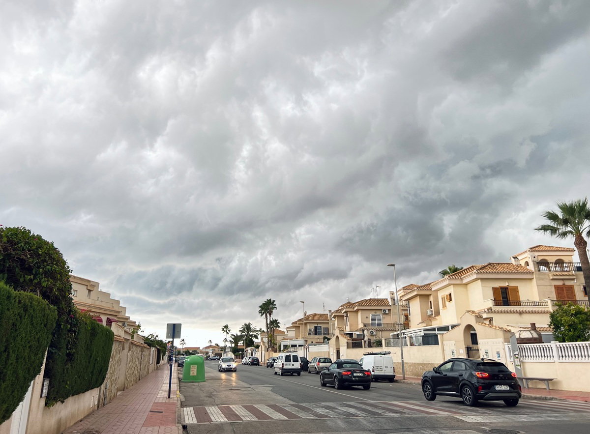
Forecasters have warned of dangerous dry storms, lightning and violent winds across parts of Spain this week.
Credit : marinissim, Shutterstock
A lot of people across Spain are looking outside right now and thinking the same thing : It feels like July arrived a month early.
The heat has become intense surprisingly fast, terraces are already packed in many cities and temperatures in some areas are moving dangerously close to 40C even though summer has not officially started yet.
But meteorologists are now warning that the real danger this week may not actually come from the heat alone. Because while Spain bakes under unusually high temperatures, the atmosphere is also becoming increasingly unstable and that combination is creating the risk of violent dry storms capable of producing lightning, giant hail and sudden destructive wind bursts.
And what makes these storms particularly dangerous is how fast they can develop.
In some places, skies may stay bright and calm for most of the day before conditions suddenly turn aggressive within less than an hour.
AEMET has already activated warnings across multiple regions as forecasters monitor what could become one of the most unstable weather setups Spain has seen so far this year.
Why meteorologists are becoming increasingly worried about these storms
Normally when people hear the word storm, they imagine heavy rain first. But this situation is different.
According to weather experts, some of the strongest storm cells expected this week may actually produce very little rainfall while still generating dangerous conditions on the ground. That is why forecasters keep talking about ‘dry storms’.
The main risks come from lightning activity, hail and powerful downdrafts of wind known in Spain as ‘reventones’.
And honestly, these wind bursts can become extremely nasty very quickly.
They can suddenly hit with enough force to bring down branches, damage terraces, move outdoor furniture and create dangerous driving conditions within minutes.
Meteorologists say gusts could exceed 70 or even 80 kilometres per hour in some areas, particularly across inland northern Spain.
The unstable conditions are developing because extremely warm air near the surface is colliding with disturbances arriving higher up in the atmosphere.
Once temperatures climb during the afternoon, clouds can suddenly grow very aggressively. And after several days of heat building up across the country, the atmosphere now contains enough energy for storms to intensify rapidly.
That is exactly why forecasters are watching the situation so closely.
These parts of Spain are facing the highest risk this week
Northern Spain currently appears most exposed to the strongest instability. The Basque Country is under particular attention after AEMET issued an orange alert for Vizcaya where temperatures could approach 37C in lower inland areas.
Across the rest of the region, yellow alerts remain active as temperatures continue climbing well above what would normally be expected for late May. Asturias and Cantabria are also facing a complicated mix of heat and storms.
Both regions are under warnings for high temperatures alongside the possibility of hail, isolated downpours and violent gusts later in the day.
Galicia is dealing with a similar pattern.
In Ourense, temperatures may rise towards 36C while storm warnings remain active across parts of inland Galicia including Lugo.
Further inland, conditions remain unstable across Castilla y León where provinces such as León, Palencia and Zamora are also being monitored closely for hail and strong winds.
And according to European forecasting models, some hailstones in these areas could exceed two centimetres in diameter.
That may not sound enormous at first, until you remember what hail of that size can actually do.
Car windscreens crack, terrace umbrellas collapse, crops can be destroyed in minutes and people caught outside without shelter can easily get injured.
Elsewhere, the heat itself continues becoming a major issue.
Extremadura could see temperatures reaching 38C while parts of Aragón, Catalonia, Navarra and La Rioja also remain under heat alerts.
Meanwhile in Cádiz province, strong Levante winds continue creating difficult coastal conditions near the Strait.
Spain’s weather could become even more unstable by the weekend
What is making meteorologists cautious is that this situation may not end quickly.
Thursday, May 28, is expected to bring another similar afternoon pattern with storms developing again in several northern and inland regions, although current forecasts suggest slightly lower intensity compared with Wednesday.
Still, weather experts are warning people not to relax too much. Because the heat itself is not going anywhere for now.
Minimum nighttime temperatures are also expected to rise over the coming days, meaning many areas may struggle to cool down properly overnight.
And looking ahead towards Friday and the weekend, forecasters are already monitoring another disturbance approaching the Iberian Peninsula.
That could trigger a new escalation in storm activity just as the current heat episode continues building. Some models even suggest storms later this week could become more organised and severe in certain areas.
For many people across Spain, the strange part is how deceptive the weather still looks beforehand.
The day often begins completely normally : Blue skies and strong sunshine.
People sitting outside having coffee. Then suddenly the atmosphere shifts. Clouds rapidly build over the mountains, the wind changes, the sky darkens and within minutes, conditions can become genuinely dangerous.
Which is exactly why meteorologists keep insisting people should pay close attention to official warnings over the next few days. Because this week’s weather is not behaving like a normal late spring pattern anymore.
It already feels much closer to the kind of volatile heat Spain usually sees much deeper into summer.







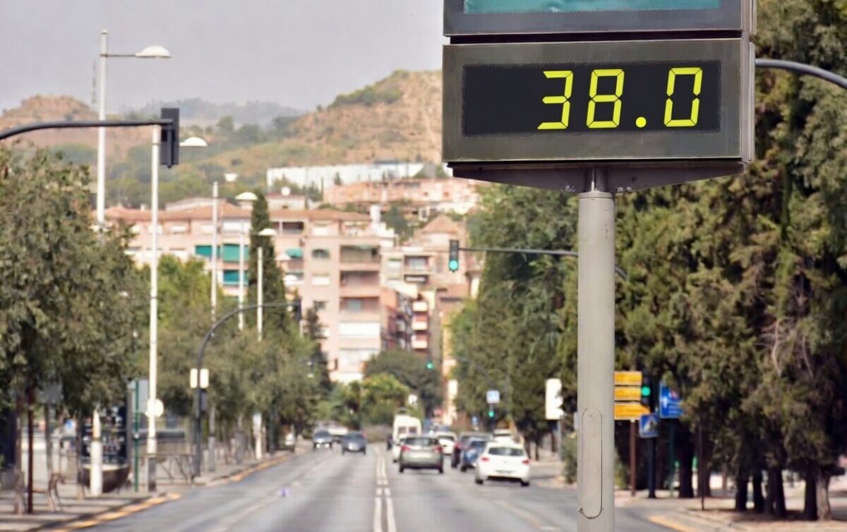
Muggy, summer-like temperatures this week in Spain.
Credit: Kuki Ladron de Guevara – Shutterstock
Experts forecast a strong dome of warm air over Spain in the coming days, keeping the temperature gradually rising after an unusually chilly start to May.
Warm air mass heats up late spring conditions
Temperatures across many parts of the country will now reach full-on summer levels. This shift follows a cold snap with readings 6 to 10 degrees below average and mountain snow in northern ranges. A persistent high-pressure ridge blowing up from northwest Africa now covers the Iberian Peninsula and is spreading northeast.
How this heat dome develops
High pressure acts like a lid trapping descending warm air and compressing it near the ground. This pattern pushes subtropical heat northward and builds over several days. Such domes occur more often in summer but bring more extreme conditions when stable.
Effects across key Spanish holiday destinations
Mallorca is experiencing notable rises, with daytime highs climbing steadily toward 30 degrees or more by late week. North Costa Blanca and South Costa Blanca see similar warming, with coastal areas feeling the build-up in humidity and heat, especially the Alicante area, which will see highs of 37ºC around Thursday.
Murcia records sharp increases as the warm air mass settles. Almeria faces potential peaks near 35º in inland spots while sea breezes moderate beach zones slightly. Costa del Sol prepares for intense warmth, especially inland from Malaga toward western stretches, where values may even approach 38ºC.
UK and Western Europe being brutalized by a “heat dome” fueled by dry African desert air, and “contorted” jet stream.
Climate change is the main culprit causing this nearly-unprecedented heat event, otherwise impossible without fossil fuels. pic.twitter.com/2LlFCoU2ER
— Ryan Maue (@RyanWeather) May 24, 2026
Week outlook for southern and eastern coasts
Maximum readings between 35ºC and 40ºC hit inland western Andalucia and Extremadura on Saturday and Sunday. Holiday regions in the east and south register 30ºC to 36ºC with some local patchy cloud.
Night-time temperatures stay warm and limit cooling in coastal zones. Vulnerable groups, including elderly residents and outdoor workers, face higher risks from prolonged heat.
Broader European spread
France is reporting 30 to 36 degrees in southwest areas today. Britain is looking forward to near 30ºC in parts over the weekend with tropical nights around 20ºC minimum. Central Europe and the Mediterranean basin warm markedly through early next week.
Spain maintains focus on this intense late-May heat as the high-pressure system matures. In short, we can look forward to a slightly muggier week ahead, with light breezes and some occasional cloud cover.
aemet
Spain heatwave 2026: When the next extreme temperatures could hit and which areas may suffer most
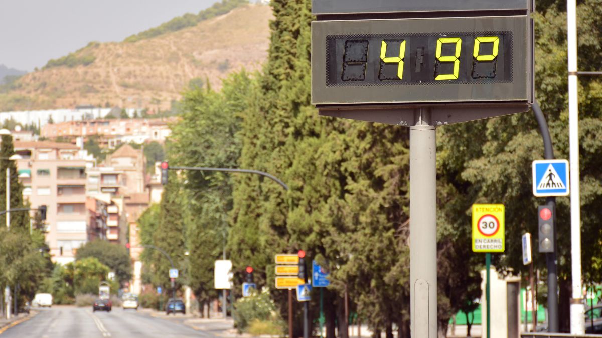
Record-breaking heat: A street thermometer in Spain hits a staggering 49°C as the risk of heatwaves intensifies across southern regions.
Credit: Kuki Ladron de Guevara / Shutterstock
Spain could be edging closer to its first major heatwave of 2026, with forecasters increasingly monitoring a sharp rise in temperatures expected to develop across parts of the country over the coming days. After weeks of rain, storms and unusually cool conditions for May, weather models are now pointing towards a very different pattern as hotter air begins building across the peninsula.
For British tourists, second home owners and expats preparing for summer, attention is already shifting from unstable spring weather towards the possibility of prolonged early season heat. Spain has already been strengthening its response to extreme temperatures after deadly heatwaves in recent years, with authorities increasingly treating heat as a major public health threat. Some parts of southern Spain could soon see temperatures climbing well above seasonal averages, while forecasters are also warning that tropical nights, where temperatures remain above 20C overnight, may begin appearing in the warmest regions.
Which parts of Spain could become hottest first
Southern Spain is usually the first region to experience severe early summer heat, particularly inland Andalucia where cities such as Seville, Cordoba and Jaen regularly approach or exceed 40C during heatwaves.
However, coastal areas including the Costa del Sol and Costa Blanca can also experience uncomfortable conditions, especially when intense heat combines with high humidity and very little overnight cooling. During previous hot spells, some coastal resorts remained above 25C overnight, making conditions especially difficult for older residents and tourists unused to Spain’s summer climate.
According to previous patterns monitored by Spain’s state weather agency AEMET, the areas most vulnerable to early heatwaves include:
- Seville and the Guadalquivir Valley
- Cordoba and inland Andalucia
- Extremadura
- Murcia
- Parts of Castilla La Mancha
- The Ebro Valley around Zaragoza
Even popular tourist destinations such as Malaga, Alicante and Mallorca can experience dangerous conditions during prolonged periods of extreme heat, particularly during busy summer weeks when beaches, airports and city centres become heavily crowded.
Why Spain may face another intense summer
Meteorologists say several factors are increasing the likelihood of another unusually hot summer across Spain, with forecasters already monitoring weather patterns that tend to favour prolonged periods of extreme heat.
Sea surface temperatures across parts of the Mediterranean remain above average, while atmospheric conditions over Europe continue allowing hotter air masses to move northwards from Africa towards the Iberian Peninsula.
Some meteorologists are also monitoring wider climate patterns linked to the possible transition between El Niño and more neutral conditions across the Pacific. While these global systems do not directly cause heatwaves in Spain, they can influence broader atmospheric behaviour across Europe and increase the likelihood of prolonged periods of unusual heat.
Spain has also experienced a noticeable rise in the frequency and intensity of heatwaves in recent years. Some climate experts warn that extreme heat episodes are now arriving earlier in the season and lasting longer than they did historically.
Last summer saw multiple temperature records broken across southern Europe, including parts of Spain where overnight temperatures struggled to fall below 25C for several consecutive days. These so called tropical nights can become especially exhausting for residents and tourists because homes and apartments often remain hot long after sunset.
The situation is particularly difficult in older accommodation without modern air conditioning, especially during periods of sustained humidity along parts of the Mediterranean coast.
What tourists and residents should expect
For many British tourists, Spain’s summer heat is part of the appeal. But when temperatures push deep into the high 30s, everyday activities can quickly become exhausting, especially for visitors arriving from cooler northern European climates.
Simple things like walking through city centres in the afternoon, waiting for transport, sightseeing or spending long hours on exposed beaches can become far more physically demanding during prolonged heatwave conditions. In some parts of southern Spain, pavements, cars and apartment buildings can remain intensely hot well into the evening after hours of direct sunshine.
Health authorities usually advise people to:
• Avoid direct sun during the hottest hours of the afternoon
• Drink water regularly, even before feeling thirsty
• Use sunscreen, hats and lightweight clothing
• Limit strenuous outdoor activity during peak heat
• Check regularly on elderly relatives, neighbours and vulnerable people
Tourists travelling with children or older family members are often encouraged to organise sightseeing trips earlier in the morning or later in the evening, particularly during periods of extreme heat when temperatures can remain uncomfortable even after sunset.
Could flights and airports be affected
Extreme temperatures can also create disruption beyond the beaches and resorts.
During previous heatwaves in Spain, airports including Malaga, Alicante and Palma de Mallorca experienced delays linked to air traffic congestion, high passenger volumes and operational pressure during peak travel periods.
Very high temperatures can occasionally affect runway operations and aircraft performance, particularly during the hottest hours of the day.
Travel experts also warn that heatwaves often coincide with increased wildfire risk across parts of Spain, which can occasionally impact roads, rail services and air quality in nearby tourist areas.
How long could the heat last
At this stage, meteorologists are closely monitoring whether the developing conditions could evolve into Spain’s first official heatwave of 2026 under AEMET criteria, which takes into account both the duration of the heat and how many regions experience unusually high temperatures at the same time.
Long range forecasting always carries some uncertainty, particularly this far ahead. However, current projections increasingly point towards several periods of above average heat developing between late May and the early weeks of summer, especially across southern and inland parts of the country.
Some forecasters also warn that once strong high pressure settles over the Iberian Peninsula, hot conditions can persist for days at a time with very limited overnight relief, particularly during tropical nights along parts of the Mediterranean coast.
If temperatures continue intensifying over the coming weeks, Spain could see its first major nationwide heat alerts of the year arriving earlier than many people would normally expect.
What travellers should do now
Spanish health authorities and travel experts are encouraging both tourists and residents to prepare for the possibility of prolonged periods of extreme heat as temperatures begin rising across parts of the country.
Authorities generally recommend:
• Checking local weather forecasts regularly
• Confirming homes or accommodation have suitable cooling or air conditioning
• Drinking water consistently throughout the day
• Monitoring local wildfire warnings and emergency alerts
• Staying updated with airport, transport and local authority notifications during periods of extreme heat
People living in inland parts of southern Spain are also encouraged to avoid strenuous outdoor activity during the hottest afternoon hours, particularly during prolonged periods of high temperatures and tropical nights where buildings may struggle to cool down overnight.
With millions of tourists expected to arrive across Spain this summer alongside large foreign resident communities already living across the country, extreme heat and possible heatwave conditions could once again become one of Spain’s biggest travel and public health stories in the months ahead.
For the latest forecasts, heat alerts and regional weather updates across Spain, residents and travellers can visit our Spanish weather section
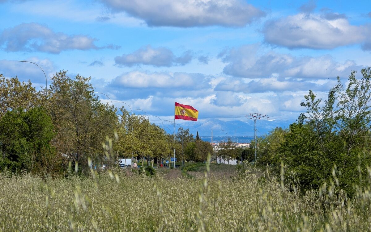
Those in Mediterranean Spain will benefit in the next few days from near-perfect spring temperatures, so this is the time to get things done. Plenty of opportunities arise for outdoor activities in comfortable conditions. Calm and pleasant weather sets the tone at the start of the week across many locations, as everyone prepares for hotter conditions that are expected to begin early in June.
Mediterranean Spain weather forecast for South and East coasts
Light cloud cover dominates the south and east coasts and the Balearics in the coming days. Stable conditions should be good for coastal activities and outdoor pursuits in these areas. Do not be fooled by the cloud cover and light breeze though as the strength of the sun rays will be deceptive.
Stormy, erratic conditions in northern Spain
Changeable weather with storms dominates the north and northeast sections of the country during this time, with flash floods and hail occurring in those affected zones, but thankfully not along most of the Med coasts. Anyone travelling to those regions exercise caution due to the unsettled patterns present.
Early week temperature ranges across Spain
Daytime highs are set to reach maximums of 26 degrees in Malaga and 27 degrees in Alicante at the start of the week. Most other locations will record temperatures of between 21 and 23 degrees during daytime hours. Nighttime lows might drop as low as 10 degrees in hilly inland areas and create cooler evenings in those spots.
Midweek warming expected in all regions
Gradual warming will be felt all areas from Tuesday, May 12. Temperatures are set to climb steadily and produce a maximum of 28 degrees in Alicante. Comfort levels improve further as the week progresses in all parts of the Mediterranean coastal regions.
Google News
Follow Euro Weekly News on Google News
Get breaking news from Spain, travel updates, and expat stories directly on your Google News feed.
Limited shower risks midweek to weekend
Low possibility of light isolated showers exists in some spots on Wednesday and Saturday, but most places are due to stay dry overall.
Pollen alert for southern Spain
It is spring, so high to very high pollen counts occur in parts of southern Spain, especially Malaga, Almeria and Murcia. Olive and grass pollen will reach noticeable levels for hay fever sufferers with peak intensity continuing through June. Individuals sensitive to air-bourne allergies should take appropriate measures during this time to manage symptoms effectively.
Outlook for weekend Spring events
Organisers of spring fetes and other outdoor events are currently benefitting from encouraging prospects for the weekend ahead. Warm t-shirt weather continues in many areas. Light cloud cover prevails in most locations according to current indications. Rains and storms are predicted to remain well inland and in the north as coastal zones stay mostly clear as a result. So, have a grand week!
Life without smoke is better, Costa del Sol walks together for World No Tobacco Day
FBI warns Microsoft users about a new AI scam that can steal accounts without passwords
Santiago Airport reopens after month-long closure


-

 Competiciones4 weeks ago
E
-
blackout April 20253 weeks ago
Insurance company Mapfre decides to pay out €14 million compensation for 2025 blackout
-
 Foreign demand3 weeks ago
Who Bought Where In The Second Half Of 2025?
-

 New Developments3 weeks ago
Stylish 3-Bedroom Apartment With Panoramic Sea Views – Benalmádena
-

 New Developments3 weeks ago
Inside The Most LUXURIOUS Apartment Building In Spain!
-

 New Developments4 weeks ago
Luxury Villas For Sale, Estepona – ProjectL1
-
Costa Blanca South3 weeks ago
Alicante police chief to retire after 17 years of service
-

 America4 weeks ago
E