
aemet
Weather Warning For Extreme Heat In Andalucia With 40C Highs – As Dozens Of September Temperature Records Are Smashed Across Spain

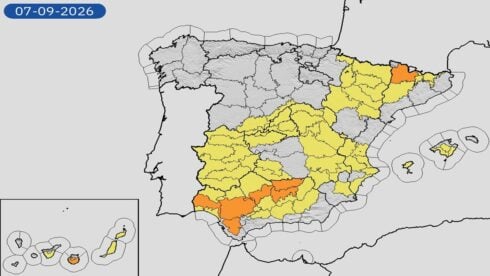
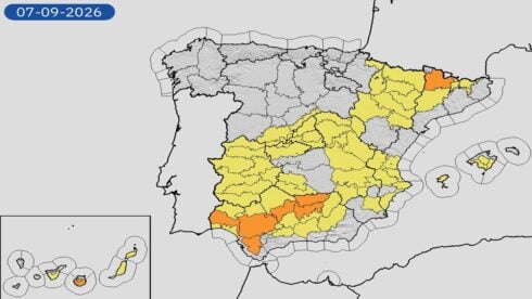 SPAIN’s weather agency has issued orange alerts for Sevilla, Cordoba, Huelva, Cadiz and Jaen on Monday.












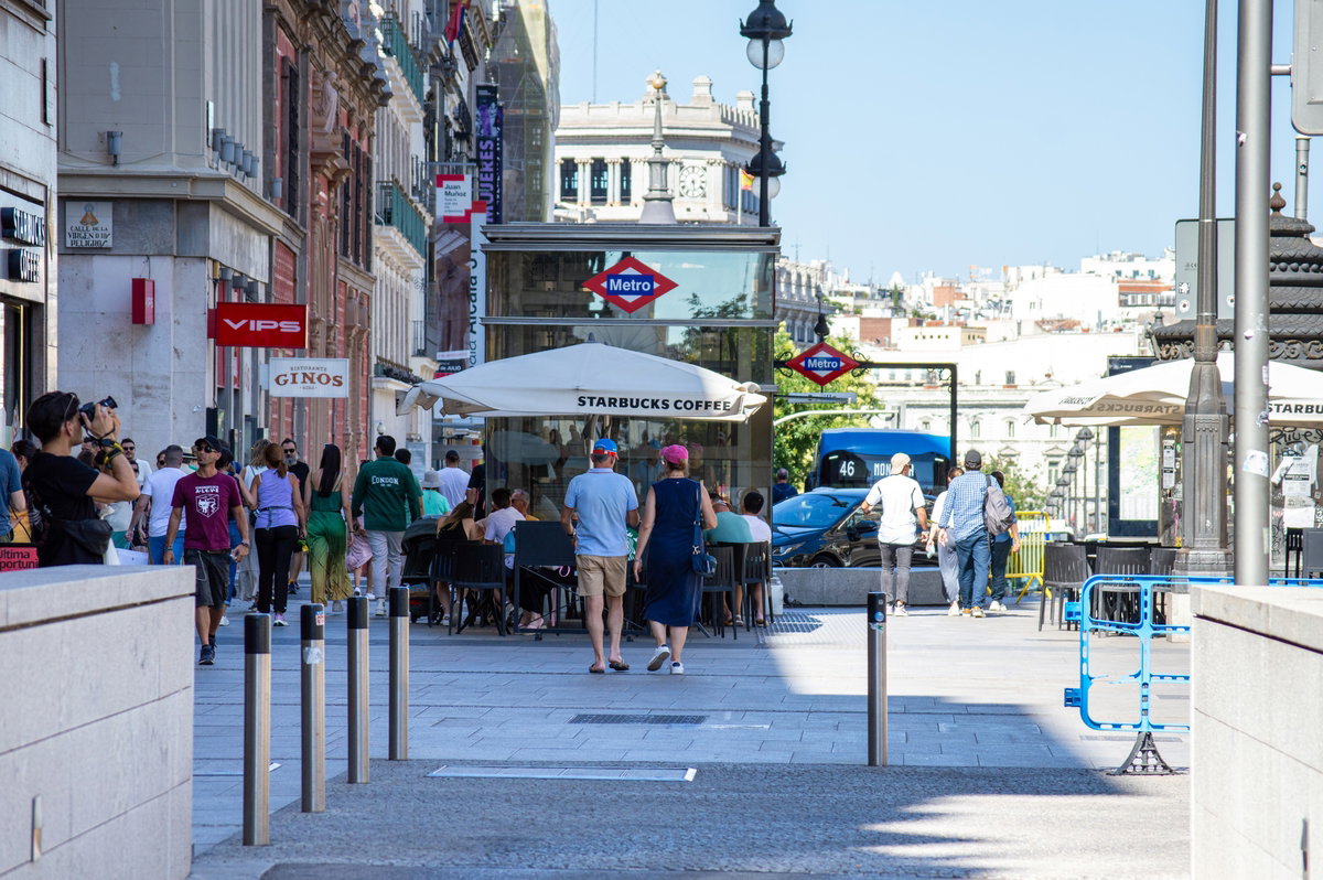
Stifling days still on the street, but . . .
Credit: Vitalii Biliak – Shutterstock
Spain has opened September like July again, and AEMET, the Spanish official meteorological service, says that the midsummer blast still has several days left in it. The most probable picture from the state weather service keeps the heat going through this weekend and into the start of next week, before a wider cool-down becomes more likely from Tuesday and Wednesday.
Weekend still feels like high summer
Fifteen autonomous communities in Spain have been carrying high-temperature warnings, with orange alerts covering parts of Andalucia, Aragon, Castilla y Leon, Castilla-La Mancha, Catalonia, Extremadura, Madrid, Navarra, the Basque Country and La Rioja. Provinces on that list include Cordoba, Jaen, Sevilla, Huesca, Teruel, Zaragoza, Avila, Ciudad Real, Cuenca, Toledo, Barcelona, Lleida, Tarragona, Badajoz and Caceres. Extra yellow warnings have also been out for spots in Asturias, Cantabria, Galicia, Murcia, the Valencian Community and Guipuzcoa in the Basque Country.
04/09 12:00 AVISOS HOY Y MAÑANA | España: temperaturas máximas, tormentas, lluvias y costeros. Nivel máximo de aviso: naranja.
Actualizaciones en https://t.co/BLdoSsO2Qv pic.twitter.com/qPBgw4SiLN— AEMET (@AEMET_Esp) September 4, 2026
Afternoon peaks will be nearing 40ºC in the Ebro valley, the northeast basins and the river valleys of the southwest. A few inland pockets could brush 44ºC in the hottest hours. Nights give little breather: 24ºC or 25ºC after dark in the south-west of the country, around 22ºC in the north-east, and tropical nights above 20ºC across much of the south, the Mediterranean and those same north-east hollows. Canary Island nights may stay sticky too.
Saturday holds those 40ºC pockets. Sunday should bring a clearer dip in the western half, especially Galicia, while 39ºC to 40ºC can still hang on in the Ebro valley and the southwest river corridors. Eastern Cantabria may even move up a notch.
Dana slides in with rain for Galicia and western Cantabria
A DANA low-pressure front bringing intense rain is moving in from the southwest on the other half of the weekend. Cloud will thicken first over the western third, and isolated heavy showers or thunderstorms look most likely in Galicia and western Cantabria on Saturday. Rain chances ease on Sunday as that system drifts away. Low cloud, mist and fog banks can form on the Galicia and Asturias coasts, around Alboran and the Strait of Gibraltar.
Canary Island skies will stay a mix of medium and high cloud, with only a slim chance of isolated showers over higher ground. This is not a country-wide washout, just a messy split: baking interiors in the east and south-west, bumpier skies in the north-west.
Tuesday and Wednesday look like the turning point
AEMET’s working forecast is a step-by-step slide from the west, then a more general fall around Tuesday and Wednesday of next week. Readings after that should be closer to a normal September day. Early next week can still run too hot in the south-west and the interior of the eastern third, so nobody should bin the fans just yet.
Forecasters want people checking updates, because the exact track of September storms can shuffle both the heat and the rain. Anyone with outdoor work, a long drive or a packed terrace this weekend should treat Saturday and Sunday as summer, then watch AEMET’s warning map from Monday night. Official notes live on AEMET’s featured forecast page, and Europe-wide alerts are on Meteoalarm.


aemet
Spain Calls On Brussels To Tax Private Jets And Fossil Fuel Profits To Fund Europe-Wide Wildfire Response

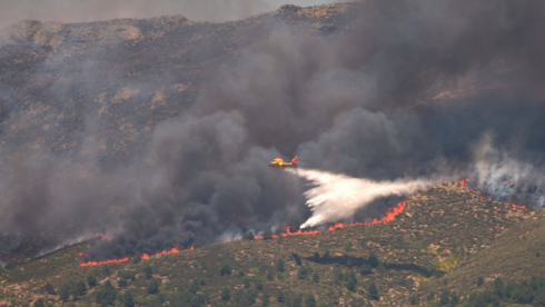
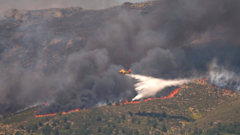 SPAIN is leading calls for the EU to tax private jets and the profits of fossil fuel companies to bankroll a Europe-wide climate resilience fund.

Serbia, A Un Paso De Las Elecciones Anticipadas Tras Casi Dos Años De Protestas Estudiantiles

Un Soldado Denunció Corrupción De Las Autoridades En Guerrero. El Domingo Apareció Descuartizado

Miles De Personas Salen A La Calle En Alemania Para Plantar Cara A La Extrema Derecha


-
Costa del Sol2 weeks ago
Mijas police step up rubbish patrols as residents complain about dumped waste
-
Celebrity News2 weeks ago
The world bids farewell to Dolly Parton: The voice behind Jolene is gone
-

 Uncategorized2 weeks ago
McLaren launch FIA appeal as result saga takes new twist:
-
Latest2 weeks ago
As Iceland Votes On The EU, Which Countries Could Be Next To Join?
-
Abondance2 weeks ago
France’s famous cheeses could taste different after drought forces farmers to change cows’ diets
-
Latest2 weeks ago
At Least 50 Injured After Fireworks Explode At Spanish Fiesta
-
 %2 weeks ago
54 Hectares Destroyed In Barcelona Fire As Man Arrested Over Suspected Arson
-
History2 weeks ago
Krakatoa exploded 143 years ago today: Noise heard 5,000km away that shaped Spain’s south-east