
aemet
El Temporal Insiste Con Nueve Comunidades Bajo Aviso Pero Ya No Se Esperan Lluvias Torrenciales

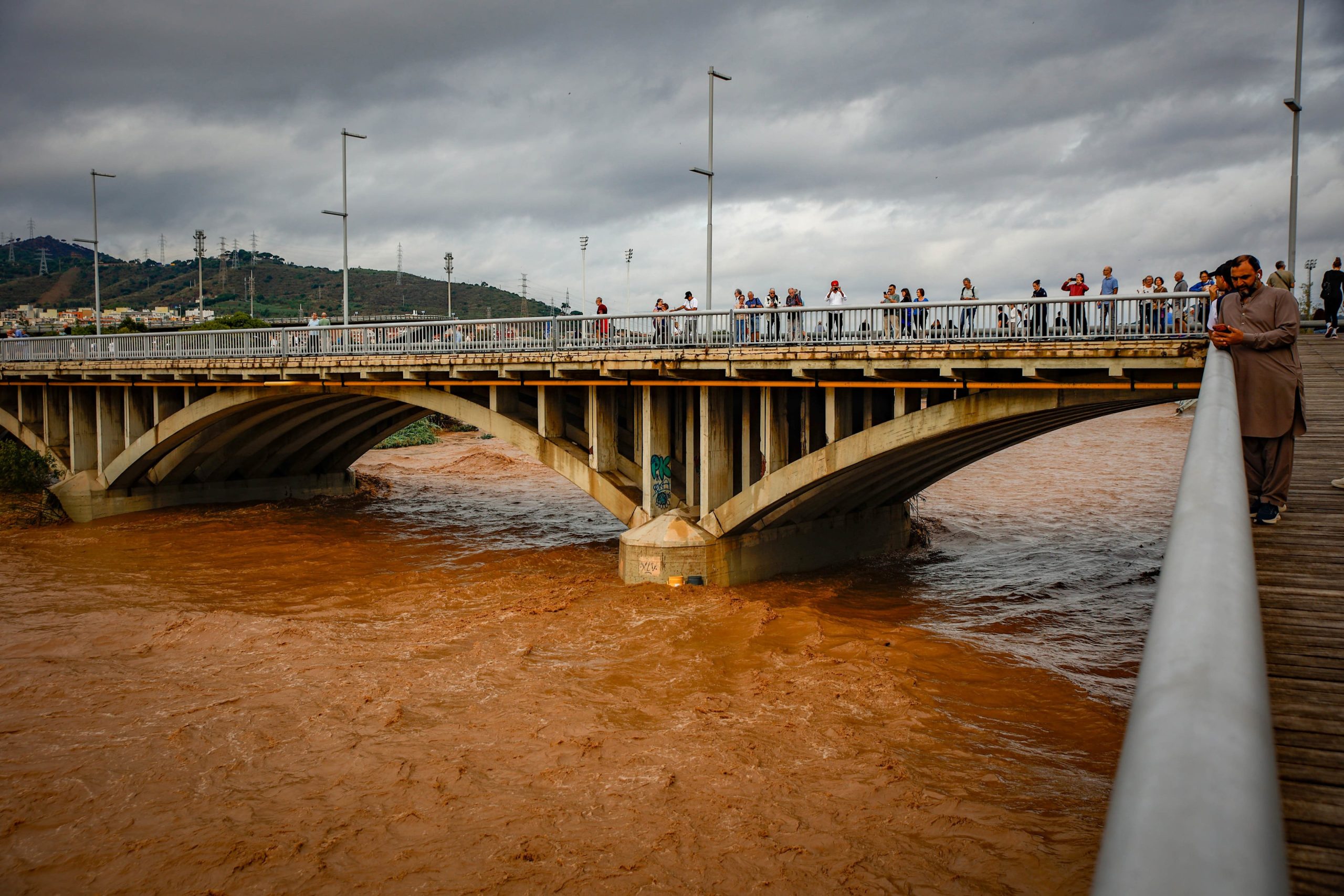









Tuesday is shaping up to be the main day of concern in this week’s unsettled weather, with widespread rain and thunderstorms forecast across much of Spain.
Monday’s storm activity will be more heavily focused inland, meaning many coastal areas in the south and southeast should escape the worst of the downpours. Conditions then become considerably wetter on Tuesday before easing again towards Wednesday.
A rain system to the west of the Peninsula, combined with an Atlantic disturbance, is driving the unstable weather pattern. Intense showers and thunderstorms could produce heavy rainfall in a short period, with some areas potentially recording around 30 litres per square metre.
Monday storms mainly affect inland areas
Monday will see a band of rain and thunderstorms move from west to east across the Peninsula. Much of the heaviest activity is expected inland, particularly during the afternoon and evening, as the Atlantic front becomes more organised. Parts of Andalucia could see strong thunderstorms, while areas further north and across the centre of the country are also at risk of intense downpours.
Coastal areas of the Costa del Sol and other southern resorts should generally see more patchy cloud than inland areas, although isolated heavy showers cannot be ruled out. Malaga is expected to see a cloudy and unsettled day, with showers or thunderstorms possible and temperatures around 28ºC.
Tuesday brings widespread rain
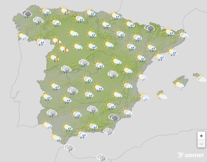
Tuesday currently looks like the most unsettled day of the week. Rain and showers are expected across large parts of the country, with some areas facing periods of heavy or persistent rainfall. Eastern and southeastern regions are particularly important for British residents and visitors, with Alicante, Murcia and parts of Andalucia all needing to watch the forecast, as thunderstorms could again produce very heavy rain in a short period, raising the risk of localised flooding where downpours become intense.
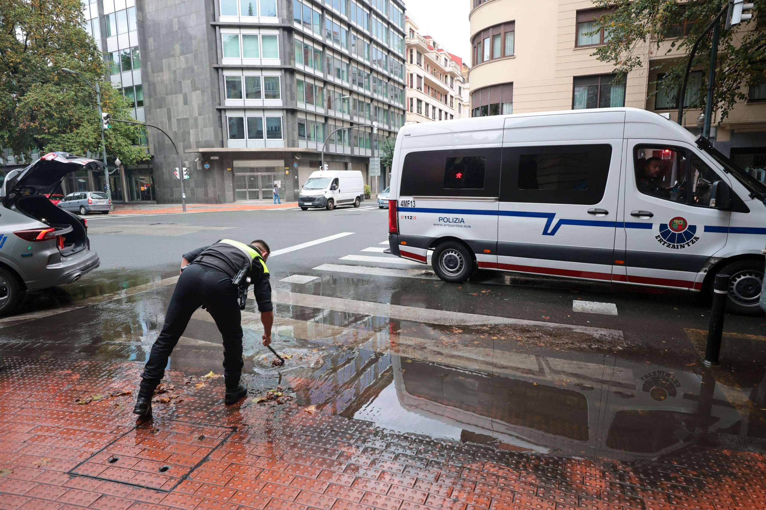
Travel conditions could also become difficult, particularly inland and across areas affected by thunderstorms. Drivers should be prepared for sudden reductions in visibility and standing water on roads.
Mallorca and the southeast stay unsettled
The Balearic Islands are also expected to see unsettled conditions as the weather system affects the Mediterranean. Mallorca could experience periods of rain and thunderstorms, with the exact timing and intensity depending on how the low-pressure system develops.
Conditions should start to improve in some areas on Wednesday, although the weather will not return immediately to the settled conditions often associated with early October.
Light rain returns to the Costas on Wednesday
Wednesday looks considerably less dramatic for the main coastal areas of southern Spain. Further showers are possible, particularly later in the day, but current forecasts suggest that rainfall along the Costa del Sol and neighbouring coastal areas should generally be light.
Málaga and other parts of the coast could therefore see a mixture of cloud and sunshine during the day before light showers arrive during the evening.
Tuesday is the day to watch
For those in southern and southeastern Spain, the key message is that Tuesday currently looks more important than Monday or Wednesday.
Monday’s strongest storms are expected to concentrate mainly inland, while Wednesday’s rain on the Costas should generally be light. Tuesday is different, with widespread rain and thunderstorms expected across much of the country and the potential for locally heavy downpours.
Nonetheless, as recent activity has demonstrated, we appear to be in a time of year when sudden and unexpected storm systems can form virtually overnight, like in tropical climates, such as happened with the ‘mini-hurricane’ over Catalonia, and storms over Extremdura and Malaga on Sunday, October 4. So, watch the skies.
aemet
La Aemet Levanta El Aviso Rojo En Badajoz Pero Amplía El De Girona Hasta La Madrugada Del Lunes
aemet
Red ‘danger To Life’ Alert As Barcelona Braces For Mediterranean ‘mini-Hurricane’ – Torrential Rain And 120km/h Winds Forecast

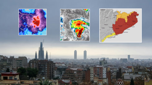
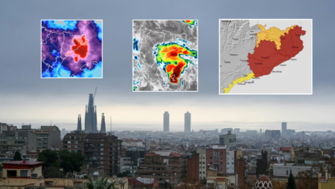 Forecasters are expecting up to 90mm of rain to fall in just an hour, with accumulated rainfall potentially exceeding 200mm in just six hours.

Five ‘housing Crisis’ Protestors Arrested After Clashing With Police In Valencia
Spain’s PM Calls Snap General Election For November 29th

El Producto Que Evita Que Las Puertas Den Golpes Con Las Corrientes De Aire


-

 Uncategorized1 week ago
F1 Qualifying Today: Azerbaijan Grand Prix schedule, times and TV channel
-

 %2 weeks ago
Is Your Supermarket Kefir Really Kefir? Spanish Study Raises A Surprising Question
-
Latest2 weeks ago
‘It’s The Law Of The Jungle’: Pensioner’s Eviction Exposes Spain’s Housing Crisis
-
Barter system2 weeks ago
British drug dealer swaps cocaine for Pokémon cards in bizarre barter deal
-

 Austin2 weeks ago
Venezuelan Migrant Shot By ICE In Austin Cites Lack Of Medical Care: ‘How Are They Going To Leave The Bullet In There?’
-

 Cody Gakpo2 weeks ago
Xavi Y Klopp Se Reparten Puntos En Su Debut Como Seleccionadores
-

 Argentina2 weeks ago
Mexico Joins Latin American Crackdown On Cellphones In Schools
-

 Uncategorized6 days ago
F1 Bahrain Grand Prix will be live and FREE on TV this weekend