
aemet
Spain set for a burst of Indian summer heat as temperatures climb above 25C

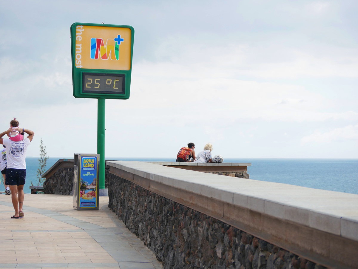
Temperatures are expected to climb above 25C in parts of Spain as Indian summer weather returns.
Credit : Anastasiia Sapozhnikova, Shutterstock
Spain is set for another taste of summer this Sunday and Monday, October 25 and 26, with temperatures expected to climb above 25°C in several parts of the country. From the Costa Blanca to the Costa del Sol, residents and holidaymakers could enjoy a return to warmer weather just days before November.
The warmer conditions follow a brief spell of cooler weather across parts of Spain. But the autumn chill may not last long, particularly in the south, where temperatures could remain unusually high throughout the coming week.
According to meteorologist Duncan Wingen of Meteored, a subtropical air mass is expected to move over Spain from Sunday, October 25, pushing temperatures upwards. The warm spell, known locally as veroño, or Indian summer, could last into early November in some areas.
The warmest conditions are expected from Monday, October 26, although the outlook will vary considerably between northern and southern Spain.
Where temperatures will rise above 25C on Sunday and Monday
Temperatures are expected to rise across much of Spain from Sunday, October 25, with the warm spell becoming more noticeable on Monday, October 26.
Southern Spain is likely to experience some of the highest readings, particularly in Andalusia, where temperatures could climb above 25°C. As the warm spell develops, parts of the Guadalquivir Valley and southern Canary Islands could eventually see highs of 30°C to 32°C.
Further inland, Extremadura and Castilla-La Mancha are also likely to see a prolonged period of mild to warm weather, with daytime highs potentially remaining above 25°C until the end of October.
The warm spell will be driven by a subtropical ridge, an area of relatively high atmospheric pressure accompanied by warmer air at higher levels of the atmosphere.
Monday is forecast to bring the first peak in daytime temperatures, before a change in atmospheric conditions affects parts of northern Spain later in the week.
The latest outlook is also supported by Spain’s national weather agency, AEMET, which expects generally stable conditions between October 26 and November 1.
AEMET predicts maximum temperatures above 20°C across large areas of Spain, with readings exceeding 25°C in much of the southern mainland and some Mediterranean locations.
However, the agency also anticipates a temporary drop in temperatures between Tuesday and Wednesday, meaning the warmer conditions will not affect every region equally.
Which Spanish regions will stay above 25C until November?
For residents and visitors along Spain’s Mediterranean coast, the most noticeable feature of the forecast is how long the warmer weather could last.
According to Meteored, Alicante, Murcia, Malaga and Almeria could experience temperatures above 25°C for at least a week, potentially continuing until the final days of October.
This means parts of the Costa Blanca and Costa del Sol may continue enjoying pleasantly warm afternoons at a time when many European destinations are already experiencing much colder conditions.
In Andalusia, Seville and Cordoba are also expected to remain particularly warm, while Badajoz in Extremadura could see similarly persistent temperatures.
The Canary Islands are another area where the warmer conditions are likely to last, with some southern locations forecast to approach or exceed 30°C.
However, the picture will be different further north.
Meteored expects a trough of lower atmospheric pressure to move across northern Spain around Wednesday and Thursday, October 28 and 29. This could bring a noticeable reduction in daytime temperatures to the Cantabrian regions, inland Galicia and Castilla y Leon.
By Thursday, maximum temperatures in parts of Catalonia and Aragon are expected to settle between 20°C and 24°C.
The trough is forecast to weaken as it moves across the Peninsula, limiting its impact on southern regions.
As a result, the southwest and Canary Islands could continue recording temperatures between 25°C and 30°C even as northern Spain becomes cooler.
Despite the summer-like afternoons, residents should not expect equally warm nights. Meteored warns that overnight temperatures could fall below 15°C across much of inland Spain, with some areas of the central plateau dropping below 10°C.
The contrast between warm afternoons and chilly mornings could be particularly noticeable for anyone heading out early or spending time outdoors after sunset.
When will autumn weather return to Spain?
The biggest question is whether Spain’s Indian summer will finally end as November begins.
Forecasters suggest the warmer conditions could extend beyond October 31, although there is increasing uncertainty about how long they will last.
Meteored’s analysis of the European weather model indicates that temperatures during the week from October 26 to November 2 could be between 1°C and 3°C above average across parts of inland Spain, the Andalusian coast, the southeastern coastline and the Canary Islands.
A more widespread fall in temperatures could arrive during the first week of November if another trough develops over the Peninsula.
However, Meteored notes that this scenario has become less pronounced in recent model updates, making the exact timing of any significant cooling uncertain.
AEMET’s longer-range outlook offers a similar picture, while highlighting important regional differences.
For the week of November 2 to 8, the agency suggests temperatures could return closer to seasonal averages across much of northern and eastern Spain, as well as the Balearic Islands.
Meanwhile, southwestern Spain and the Canary Islands may continue experiencing temperatures above the seasonal norm.
The agency also identifies the possibility of more humid easterly winds bringing rain to parts of the Mediterranean coast, although confidence in these longer-range predictions remains limited.
For anyone living in Spain or planning a late-October getaway, Sunday and Monday could bring a welcome return to warmer afternoons, especially in the south and along the Mediterranean coast.
And the good weather may not end there. Some areas could continue enjoying temperatures above 25°C into the final days of October, although cooler conditions are expected further north.
With November approaching, it remains unclear exactly when the warmer spell will end. For now, residents and visitors can check the latest local forecasts to see how long the sunshine is likely to last.





aemet
Costa Del Sol Braces For Torrential Rain As AEMET Issues Yellow Warnings Ahead Of Weekend Deluge


 Sunday and Monday will bring the worst of the weather, with Ronda and Antequera under yellow alerts as the storm moves in on Saturday.
Scientists detect radio signals from an exoplanet for the first time
Looting and street violence hit Barcelona as El Corte Inglés customers are trapped
Spain’s DGT urges drivers to check dashboard brightness as clocks go back

F1 Bahrain Grand Prix will be live and FREE on TV this weekend

How To Get A Tourist Rental Licence In Andalusia (Spain) – Step-By-Step Guide 2025
Brussels takes action against Spain over failure to update blackout plan


-
 Uncategorized4 weeks ago
F1 Bahrain Grand Prix will be live and FREE on TV this weekend
-
 New Developments4 weeks ago
How To Get A Tourist Rental Licence In Andalusia (Spain) – Step-By-Step Guide 2025
-
Blackout preparedness3 weeks ago
Brussels takes action against Spain over failure to update blackout plan
-

 New Developments3 weeks ago
Luxury Villas For Sale, Estepona – ProjectL1
-
EU3 weeks ago
EU nicotine crackdown sparks warning that ex-smokers could be driven back to cigarettes
-

 Uncategorized3 weeks ago
Lewis Hamilton F1 wish could come true as stunning plans for new track revealed
-

 Housing access / crisis / affordability3 weeks ago
Radical Housing Decrees Defeated As Snap Election Talk Grows
-
British tourists arrested in Magaluf3 weeks ago
British tourists arrested after taxi driver left bloodied in Magaluf